
UM Researcher Partners with UTC to Study Water Quality with NASA
UM, UTC partner in NASA’s Research Initiation Award
OXFORD, Miss. – NASA is providing nearly $300,000 to fund a University of Tennessee at Chattanooga and University of Mississippi study that aims to develop a way to determine water quality from space.
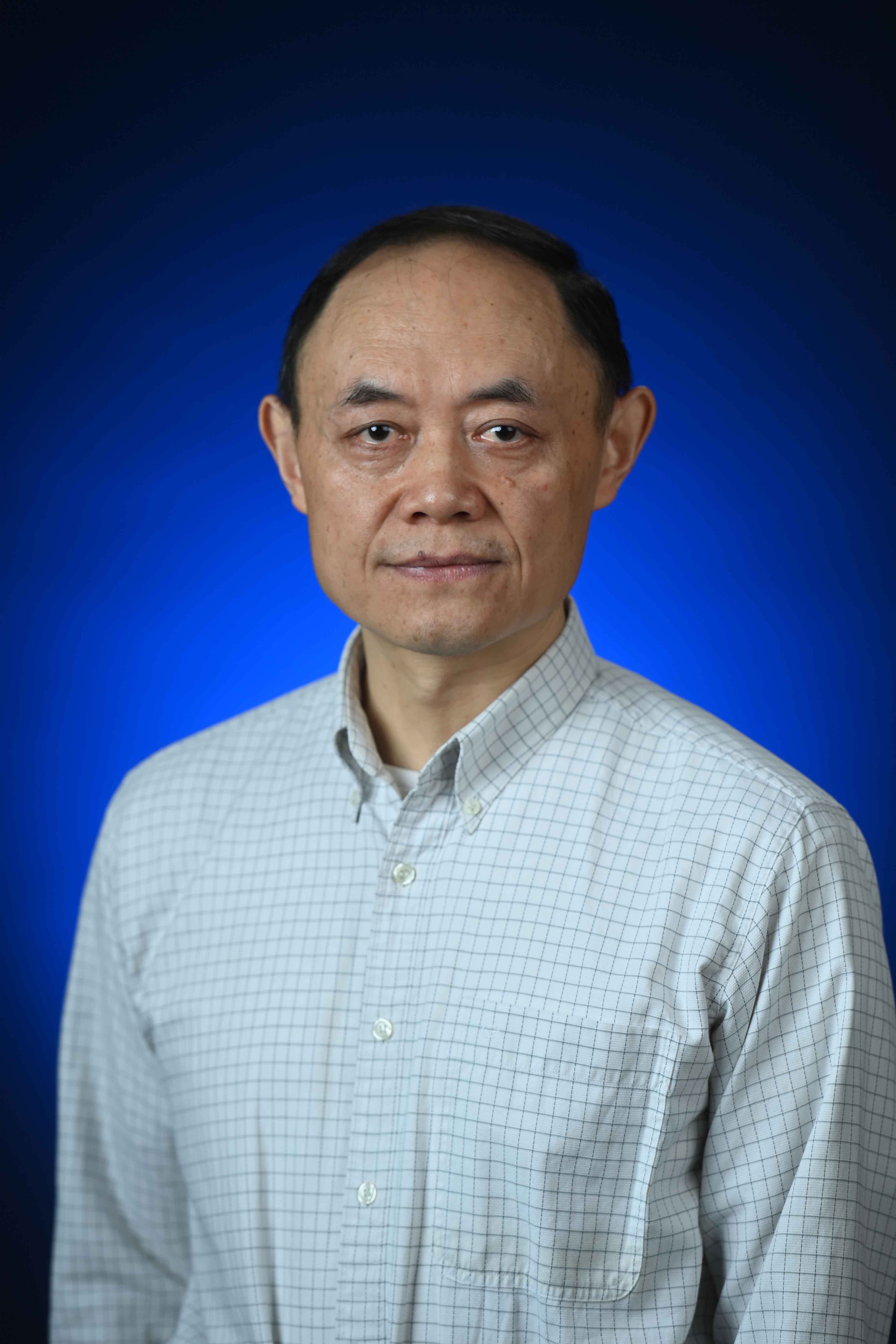
Xiaobo Chao, a senior research scientist in the National Center for Computational Hydroscience and Engineering is partnering with with Azad Hossain, an environmental geoscientist at UTC, and Hong Qin, UTC’s head of computer science and engineering, on the project.
Hossain, the lead investigator on the research, is an Ole Miss alum and a former employee of the National Center for Computational Hydroscience and Engineering. UTC is the primary recipient of the award and UM is participating as a subaward.
The award supports the team’s goal of developing a way to remotely sense water quality in earthbound rivers and lakes.
“What we're hoping to do is develop a method to understand water quality using satellite imagery and remote sensing,” Chao said. “Why would we use remote sensing? Well, to detect water quality normally, you take a sample from here, take a sample from there, and there – it's time-consuming work.
“But remote sensing, you can detect large areas quickly.”
By looking at how much light is reflected off the water’s surface the researchers will be able to determine the quality of the water and even see what pollutants or sediments may be in the water, Chao said.
Though the grant focuses on using satellite imagery to detect water quality in the Tennessee River, Chao said the research will apply to any inland water body.
“This project is for the Tennessee River, but actually, in Mississippi, we already did something like this in the Ross Barnett Reservoir and at Enid Lake,” he said. “For us, it’s (understanding) sediment.
“Sediment is, especially in Mississippi, the most important nonpoint source pollutant in water bodies.”
It will be easier to determine why water sources are contaminated if we can identify what kind of sediments or pollutants are entering the water and where, Chao said.
“What we're doing is we're using NASA satellite images and remote sensing to look at bodies of water and say, ‘This is what we see as the sediment level, as the temperature and other measures,” he said. “Then we're going out to those places, collecting samples and seeing if we're right.”
The grant will fund two years of research. By that time, the researchers hope to have a methodology in place that can be widely used, cutting back on the time and money required for collecting and testing water samples, Chao said.
“How do we get at a better understanding of our water quality, and in a less time-consuming way than going out and getting samples ourselves?” he said. “That’s what we’re trying to do.”
This material is based on work supported by NASA’s Research Initiation Award through the Research Opportunities in Space and Earth Science program. Read more about this grant here.
Top image: Xiaobo Chao, senior research scientist in the National Center for Computational Hydroscience and Engineering, is partnering with the University of Tennessee at Chattanooga to develop a way to monitor water quality from satellite images. Submitted photo
By
Clara Turnage
Campus
Published
July 01, 2024